 Italiano
 English
 Español
 Deutsch
 Français
 português


Object offered by:
Via A.M. Ampere, 55
Milano - MI (Milano) - Italia

+39 0270635993 - +39 3394379271

Item
426566
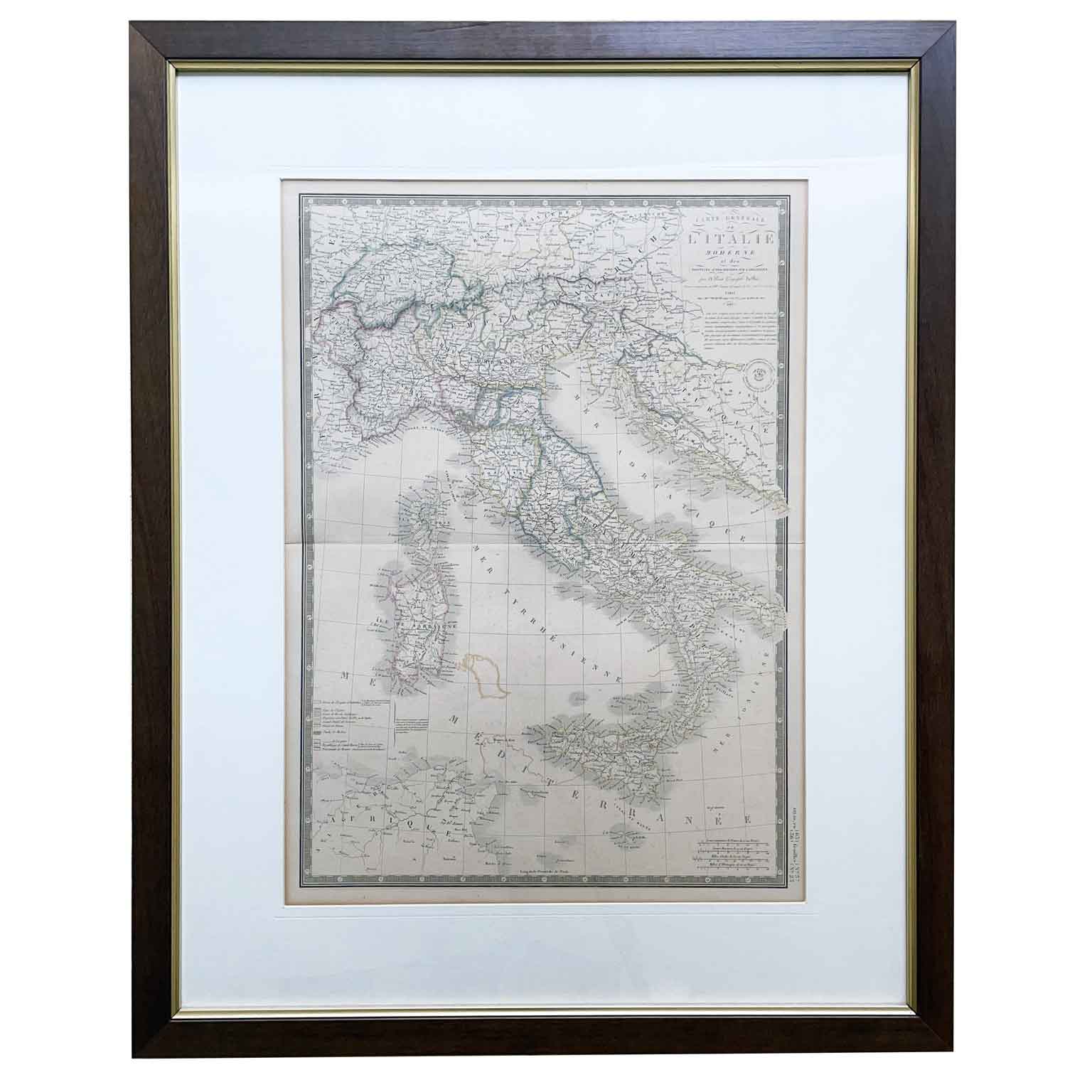
Adrien Brué Geographical Map of Italy 1842

Period : First half of the 19th century
Adrien Brué Geographical Map of Italy 1842 with a central horizontal fold, with period coloring as per the administrative boundaries legend. Top right: Carte Generale de L’Italie Moderne et des Provinces Autrichiennes sur l’Adriatique par A. Brué Geographe du Roy Paris 1842. Further down, a circular dry stamp mentions the acquisition by Ch. Piquet. The sheet is in good condition apart from an irregular coloring in correspondence with the southern part of Corsica.
Height: 51 (75.5) cm. - Width: 36 (60.5) cm. - Depth: 2 cm.
art. A1033
Measures H x L x P 51 x 36 x 2
Measures H x L x P 51 x 36 x 2
Country of origin: MI (Milano) Italia